
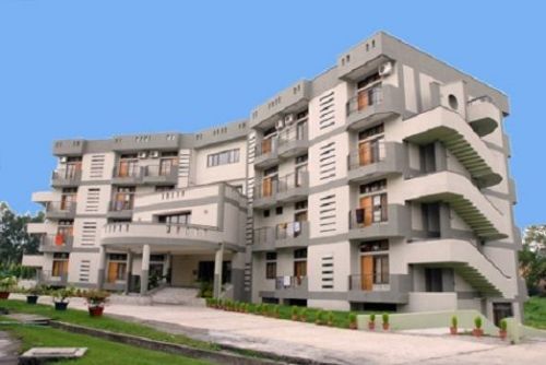
Indian Institute of Remote Sensing, Dehradun ::[IIRS]
- Viewed - 204
Description
Description
Indian Institute of Remote Sensing, Dehradun IIRS
Facilities:

Computer Labs

Gym

Hostels

Laboratories

Library

Medical

Wi-Fi
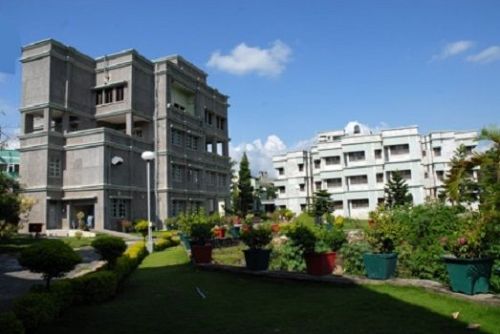
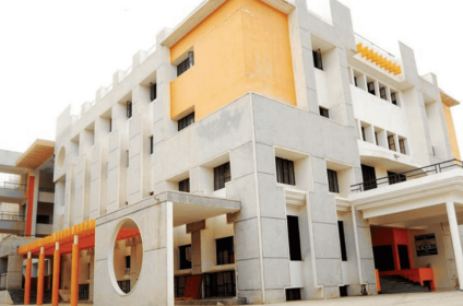
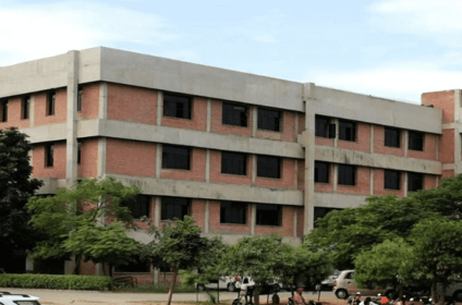
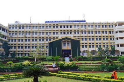
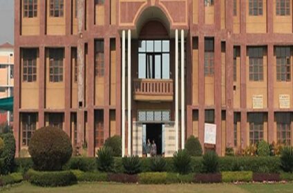
Gallery:
Gallery:


Indian Institute of Remote Sensing, Dehradun IIRS
Courses:
| Course Name | Certificate Course in GIS and Remote Sensing CGRS | Master of Science M.Sc (Geoinformatics) | Master of Technology M.Tech | Post Graduate Diploma |
|---|---|---|---|---|
| Type of Course | Degree | Degree | Degree | Diploma |
| Eligibility | Post Graduation | Post Graduation | Post Graduation | |
| Approximate Fees | ₹ 20,000 | ₹ 120,000 | ₹ 164,000 | ₹ 65,000 |
| Course Duration | 6 Months | 2 Years | 2 Years | 1 Year |
| Streams | Remote Sensing And Geographic Information System | Satellite Image Analysis and Photogrammetry | Marine and Atmospheric Sciences | Urban and Regional Planning | Geomatics | Water Resource | Agriculture and Soils | Forest Resources and Ecosystem Analysis | Applied Geoscience | Gis And Remote Sensing | Geoinformatics | Water Resource Management |
Indian Institute of Remote Sensing, Dehradun IIRS
Placements:


Reliance Infrastructure Limited
NTRO
Indian Institute of Remote Sensing, Dehradun IIRS
Enquiry:
Indian Institute of Remote Sensing, Dehradun IIRS
Ranking:
No Rankings Found
Interested in this college?
You can save it in your bookmarks. Fill up the admission enquiry form, or share the college with your friends.
Colleges With Similar Courses


Incorrect Information?
We try our best to keep the details relevant and precise, but mistakes happen.
Please use the 'Report' button right next to the 'Save' and 'Share' buttons on the top.
Location / Contacts
College Not Claimed :
Own or work here?
Claim Now!
More Details
Established
1966
Approval
MHRD
College Type
Private
Exams Accepted
GATE
Nearby Colleges


Browse Similar Locations
Studied here??
Share your memories or ask/ reply to questions.
You must be logged in to post a comment.
Quick Jump Tags
Agriculture and SoilsApplied GeoscienceCertificate Course in GIS and Remote Sensing CGRSForest Resources and Ecosystem AnalysisGeoinformaticsGeomaticsGis And Remote SensingMarine and Atmospheric SciencesMaster of Science M.Sc (Geoinformatics)Master of Technology M.TechPost Graduate DiplomaRemote Sensing And Geographic Information SystemSatellite Image Analysis and PhotogrammetryUrban and Regional PlanningWater ResourceWater Resource Management
Add Review